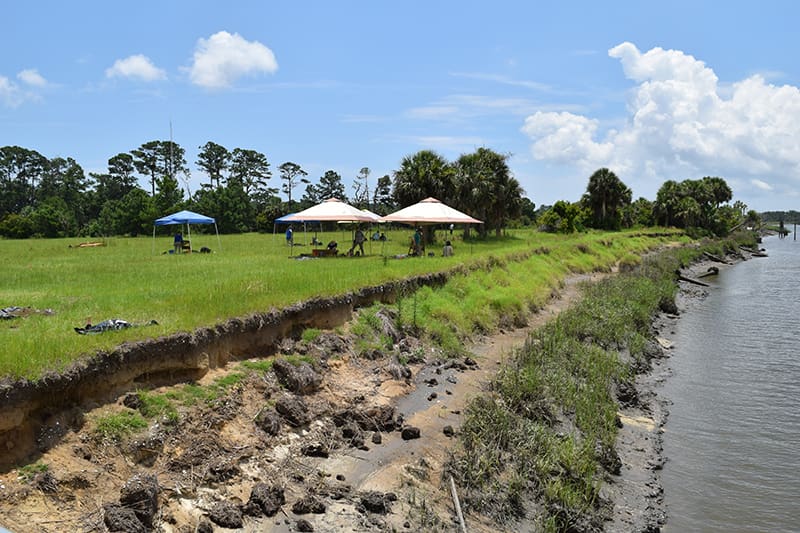
Matt Howland, assistant professor of anthropology and archaeology, is using Geographic Information Systems (GIS) software to model how such coastal change and damage could occur. GIS is used to record, store, analyze, visualize and interpret geographic data and has become an important technological tool for archaeologists, particularly in determining changes across landscapes.